The Ocean Is Warming. The Forecast Is Not.
A massive heat reservoir beneath the Pacific has forecasters talking about a 'super El Niño' in 2026. But ocean scientists say the outcome remains genuinely uncertain—and that's exactly why some regions need to act now.
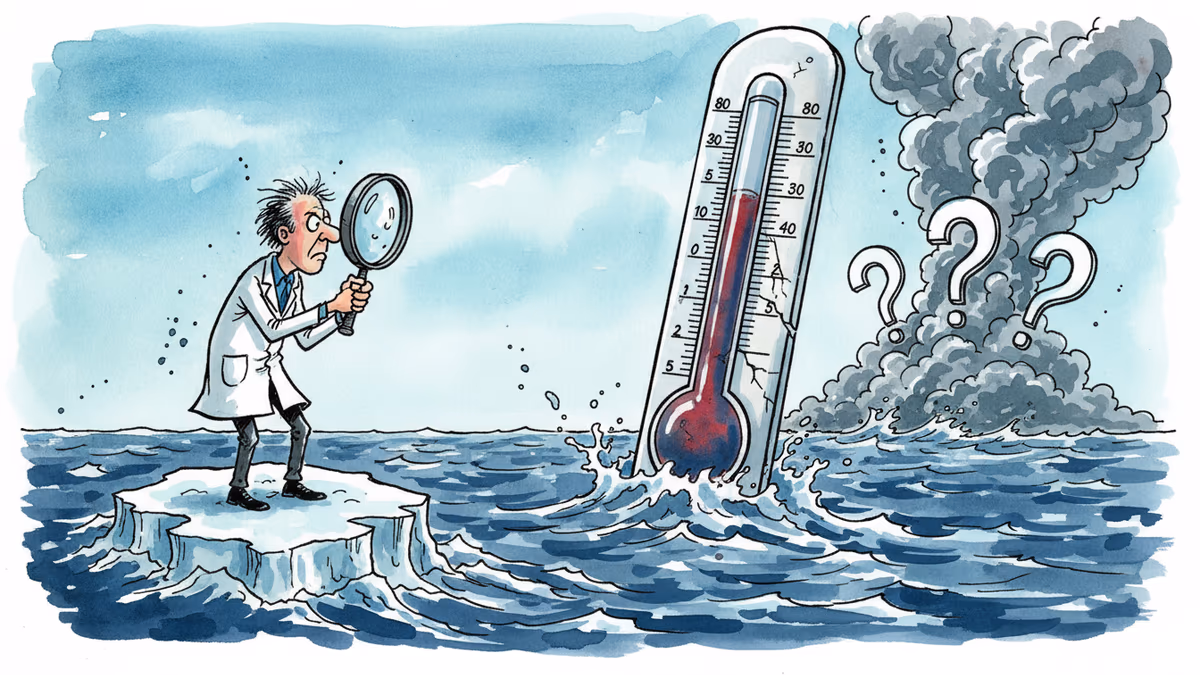
The Pacific Ocean is running a fever. Whether it becomes a crisis depends on the wind.
Something unusual is happening beneath the surface of the tropical Pacific. An exceptionally large reservoir of warm water has built up along the equator, and computer models are pointing toward extreme climate conditions by the end of 2026. The phrase "super El Niño" is circulating with growing urgency—in scientific circles, in policy briefings, and increasingly in the headlines.
But Pedro DiNezio, an ocean-atmospheric scientist at the University of Colorado who studies El Niño for a living, wants to slow that momentum down. Not to dismiss the concern—the signals are real. Rather, because the gap between a strong signal and a confirmed event is precisely where forecasting science meets its limits.
How El Niño Builds—and Why It Sometimes Doesn't
Under normal conditions, trade winds blow westward along the Pacific equator, pushing warm surface water toward Asia and leaving cooler water near South America. El Niño begins when that pattern breaks down. Warmer water spreads eastward, altering rainfall, temperature, and storm patterns across the globe.
In April 2026, a pair of cyclones straddling the equator briefly reversed the trade winds. That reversal triggered what scientists call a downwelling Kelvin wave—a pulse of energy traveling eastward beneath the ocean surface. When it reached the eastern Pacific, sea surface temperatures off South America spiked sharply. On the surface, it looked like the opening act of a major El Niño.
Here's the catch: El Niño doesn't sustain itself automatically. For the warming to persist and intensify, the ocean and atmosphere need to lock into a self-reinforcing feedback loop—warmer water weakens the trade winds, which triggers more Kelvin waves, which push more warm water east, which weakens the winds further. That loop requires repeated bursts of eastward wind to get going. As of mid-May, those winds haven't shown up. In fact, forecasts for the second half of May suggest winds blowing in the opposite direction—a meaningful brake on the system.
This is why spring is the hardest season for El Niño forecasting. Scientists call it the "spring predictability barrier." The system hasn't yet committed to a direction. Impressive early signals can fade if the atmosphere doesn't follow through.
The models themselves can compound the confusion. When they detect strong subsurface warming, they can simulate a stronger feedback loop than actually develops—looking more confident, and more alarming, than the situation warrants.
We've Seen This Movie Before
In 2014 and again in 2017, forecast models pointed toward strong El Niño conditions by midyear. Both times, the anticipated wind patterns never fully materialized. El Niño either stayed weak or returned to neutral. The early signals were genuine. The follow-through wasn't.
NOAA's May 2026 outlook reflects elevated odds of El Niño developing and potentially strengthening later in the year—but the forecast range still spans from weak to strong. By the mid-June update, the picture should be substantially clearer. Until then, the Pacific has, as DiNezio puts it, "loaded the dice"—without yet rolling them.
Why Intensity Is Everything
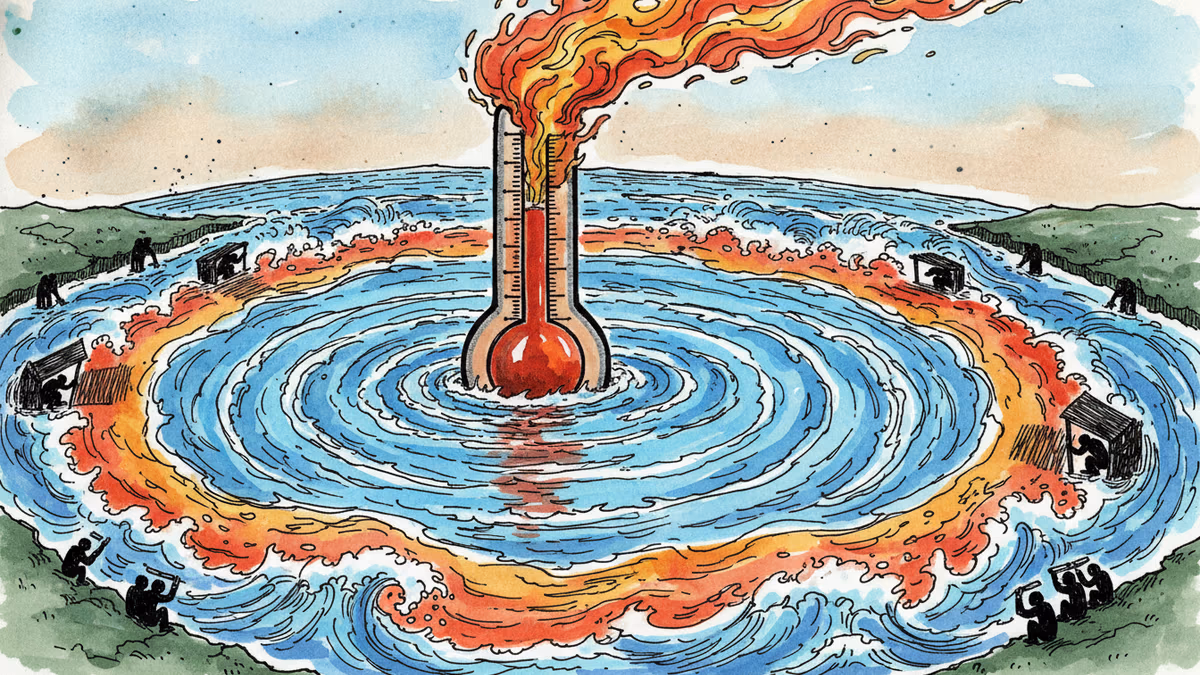
The difference between a weak El Niño and an extreme one isn't a matter of degree. It's a different world.
A strong or "super" event can drive severe drought across the Amazon, catastrophic fires in Indonesia, devastating flooding in Peru, and heavy rainfall along parts of California and southern South America. These effects typically peak during Northern Hemisphere winter, when El Niño is at its strongest.
The stakes are most immediate for India. The summer monsoon—which supports agriculture and drinking water for hundreds of millions of people—has historically weakened during strong El Niño events. Even modest disruptions can cascade into food shortages and economic damage. Decisions about water infrastructure and crop planning can't wait for a June forecast update.
There's a rare upside: strong El Niño events tend to suppress Atlantic hurricane activity. But that statistical tendency offers cold comfort. Destructive hurricanes still strike in otherwise quiet seasons. Reduced average risk is not the same as reduced risk.
El Niño also nudges global temperatures upward by altering cloud cover and the heat the ocean releases into the atmosphere. In a climate already running warmer than historical baselines, the combined effect of background warming and a strong El Niño pushes into territory with few historical analogues.
Acting on Probability, Not Certainty
The most important insight from DiNezio's analysis isn't about the forecast itself—it's about how to use an uncertain forecast.
El Niño's effects don't arrive all at once. The monsoon impact unfolds over summer. Atlantic hurricane suppression plays out through fall. The most intense rainfall in South America peaks between November and January. Heatwaves in Southeast Asia often don't arrive until April of the following year. Each of these timelines implies a different window for preparation—and different consequences for waiting.
For regions where the risks are high and the lead times are short, the logic is straightforward: prepare for the plausible worst case now, while remaining open to adjusting as the forecast sharpens. The cost of over-preparing for an El Niño that doesn't fully materialize is almost always lower than the cost of under-preparing for one that does.
The harder question is structural. Most disaster preparedness systems are built around known, recurring threats—hurricane season, monsoon season, wildfire season. El Niño operates on a longer, less predictable cycle, and its effects are uneven across regions. Building institutions that can act on probabilistic, multi-month forecasts—rather than waiting for certainty—remains one of the more underappreciated challenges in climate adaptation.
This content is AI-generated based on source articles. While we strive for accuracy, errors may occur. We recommend verifying with the original source.
Related Articles
Twelve hours after tourists photographed the South Sawyer Glacier, a landslide triggered the second-tallest tsunami in recorded history. The signals were there. The monitoring system wasn't.
Scientists warn a coming super El Niño could trigger lasting "climate regime shifts" — not just extreme weather, but permanent changes to rainfall, drought, and ocean systems worldwide.
The minerals powering EVs, AI, and wind turbines are contaminating water and devastating communities in Congo, Chile, and Bolivia. A UN University report warns of a new resource curse.
Global campaigns promise to plant a trillion trees this decade. But science shows monoculture plantations—the dominant approach—may be doing more harm than good. A 13-year experiment offers a better path.
Thoughts
Share your thoughts on this article
Sign in to join the conversation