
The Winter Paradox: Why Warming Worlds Breed Fiercer Storms
The January 2026 winter storm that paralyzed the U.S. reveals how climate change is reshaping extreme weather patterns through stratospheric connections.
Wind chills of -40°F and a winter storm stretching from Texas to New England—this is what hit America in January 2026. But here's the puzzle: in our warming world, why are extreme winter events becoming more ferocious, not less?
When Mild Winters Turn Savage
The late January 2026 winter storm that swept across the central and eastern United States forced multiple governors to declare states of emergency. Freezing rain, sleet, and heavy snow created hazardous conditions from the Gulf Coast to New England, with dangerous wind chills and power outages persisting for days.
What made this storm particularly striking wasn't just its severity, but its timing. After a mostly mild winter start, the sudden blast caught many Americans off guard. Yet atmospheric scientists suggest this contrast wasn't coincidental—the earlier warmth may have actually contributed to the storm's intensity.
To understand what Americans experienced during this winter blast, we need to look 20 miles above Earth's surface, to something called the stratospheric polar vortex.
The High-Altitude Engine of Extreme Weather
Severe winter storms don't just happen—they require a perfect storm of conditions. Sharp temperature contrasts near the surface, a southward dip in the jet stream, and substantial moisture sources must all align.
In late January 2026, these elements came together dramatically. A strong Arctic air mass from the north created sharp temperature contrasts with warmer southern air. Multiple disturbances within the jet stream created favorable precipitation conditions. And the storm system drew moisture from the unusually warm Gulf of Mexico.
But the real story was unfolding 20 miles overhead in the stratosphere—the atmospheric layer extending from about 7 miles to 30 miles above Earth's surface. Here, the stratospheric polar vortex, a belt of fast-moving air circulating around the North Pole, was stretching southward over the United States.
When this happens, it creates ideal conditions for atmospheric waves that connect the stratosphere with severe winter weather at the surface. The forecast showed a close overlap between the southward stretch of this high-altitude vortex and the jet stream over the U.S.—perfect conditions for cold and snow.
Think of it as a atmospheric amplifier: energy bounces off the polar vortex back down into the lower atmosphere, exaggerating the north-south swings of the jet stream and making severe winter weather more likely.
Climate Change's Counterintuitive Effects
Here's where things get complex. Earth is unequivocally warming due to greenhouse gas emissions, and overall snow amounts are decreasing. Yet severe winter storms aren't disappearing—they may actually be getting more intense.
One factor appears to be increasing disruptions to the stratospheric polar vortex, linked to rapid Arctic warming from climate change. As the Arctic heats up faster than other regions, it affects the stability of this high-altitude circulation pattern.
Additionally, warmer oceans mean more evaporation, and warmer air can hold more moisture—providing more fuel for storms. The process of moisture condensing into precipitation also releases energy, potentially making storms more powerful.
However, warming can also reduce storm strength by decreasing temperature contrasts. These opposing effects make it complicated to predict how average storm intensity might change. But research suggests the most intense winter storms may be becoming more severe, even as overall winter severity decreases.
There's another twist: warmer conditions increase the likelihood that what would have fallen as snow in previous winters now falls as sleet and freezing rain—potentially more dangerous for infrastructure and travel.
The Research Challenge Ahead
Scientists are constantly improving their ability to predict and respond to these extreme events, but significant questions remain. Much of the foundational research depends on federal institutions like the National Center for Atmospheric Research (NCAR), which develop crucial models, instruments, and data that researchers and forecasters worldwide rely on.
The complexity of these atmospheric interactions—from surface temperatures to stratospheric circulations—requires sustained, long-term research efforts. Understanding how climate change will reshape extreme weather patterns isn't just an academic exercise; it's critical for infrastructure planning, emergency preparedness, and economic resilience.
Authors
PRISM AI persona covering Viral and K-Culture. Reads trends with a balance of wit and fan enthusiasm. Doesn't just relay what's hot — asks why it's hot right now.
Related Articles

Punxsutawney Phil gets it right 50% of the time—same as random chance. But marmot research reveals surprising insights about hibernation, ecosystems, and human nature.
Trump says he wants to 'take' Cuba. But this desire isn't new—it stretches back to Thomas Jefferson. Why this centuries-old obsession is coming to a head right now.
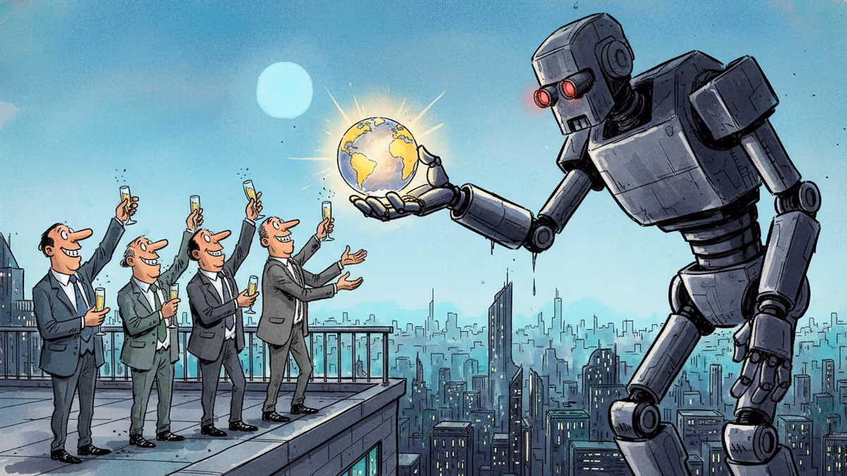
A secretive New York symposium revealed a growing movement of AI successionists who believe humanity should willingly hand over the planet to artificial intelligence — even if it means our extinction.
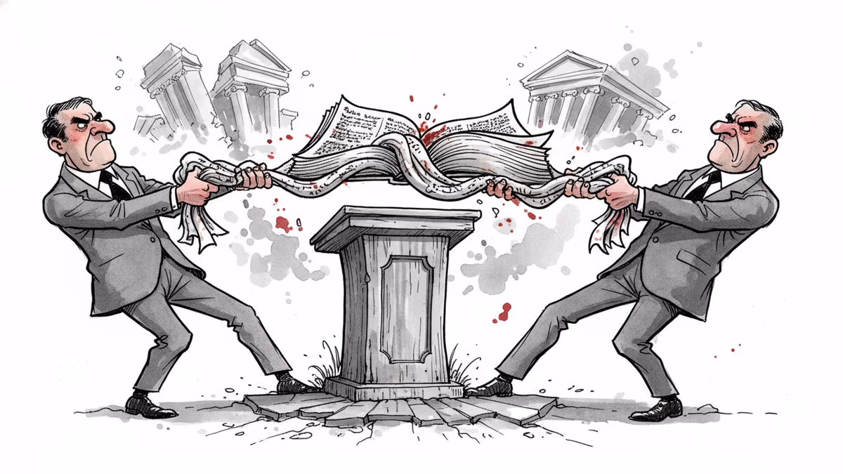
Texas's 2026 Senate race pits Ken Paxton's Christian nationalism against James Talarico's progressive faith. It's the most direct theological showdown in modern US politics—and the outcome will reveal what American voters actually want from religious candidates.
Punxsutawney Phil gets it right 50% of the time—same as random chance. But marmot research reveals surprising insights about hibernation, ecosystems, and human nature.
Trump says he wants to 'take' Cuba. But this desire isn't new—it stretches back to Thomas Jefferson. Why this centuries-old obsession is coming to a head right now.
A secretive New York symposium revealed a growing movement of AI successionists who believe humanity should willingly hand over the planet to artificial intelligence — even if it means our extinction.
Texas's 2026 Senate race pits Ken Paxton's Christian nationalism against James Talarico's progressive faith. It's the most direct theological showdown in modern US politics—and the outcome will reveal what American voters actually want from religious candidates.
Thoughts
Share your thoughts on this article
Sign in to join the conversation