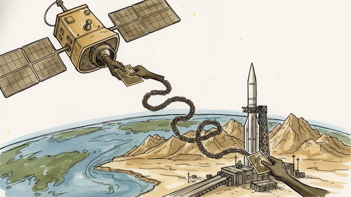
The Satellite Feed That Targeted U.S. Troops
The State Department confirmed that outside groups supplied satellite imagery enabling Iran to strike American forces in the Middle East. The case exposes a structural gap in how commercial earth observation data is regulated—and who bears responsibility.
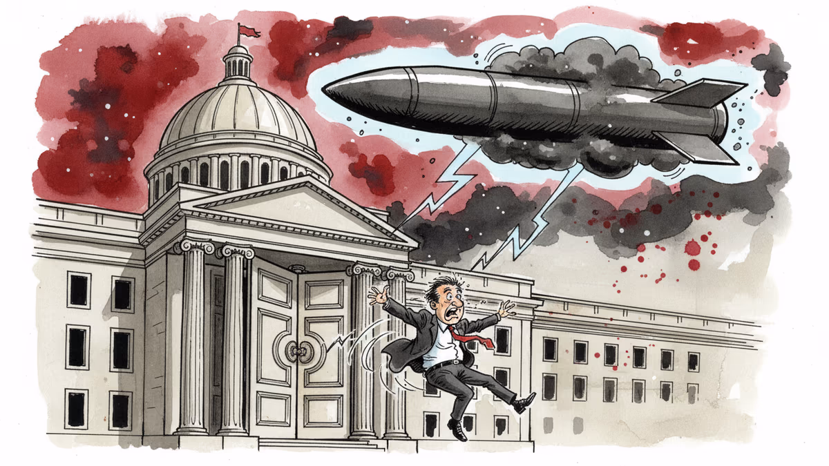
The missile knew where to go. The question is: who told it?
The U.S. State Department has confirmed that external groups provided satellite imagery to Iran that enabled Tehran to strike American military positions in the Middle East. The attack itself was Iranian. But the targeting intelligence, according to Washington, came from somewhere else.
What the State Department Said—and Didn't Say
The State Department's confirmation is notable for what it reveals and what it withholds. Officials acknowledged that identifiable groups supplied the satellite imagery that gave Iran actionable targeting data on U.S. forces. The groups have been identified internally, but their names have not been made public.
The mechanism matters here. Iran operates under sweeping U.S. sanctions that prohibit the direct sale of satellite imagery to Tehran. So if the data got through, it didn't travel in a straight line. The use of the plural—groups, not a single actor—suggests a layered intermediary structure: third-country brokers, reprocessed data sold through analytics firms, or imagery bundled into products that don't trigger standard export control flags.
This is not a new vulnerability. It is a known one that has resisted resolution.
The Commercial Satellite Industry's Dual-Use Dilemma
The commercial earth observation market has grown into a multi-billion-dollar industry. Companies like Planet Labs, Maxar, and Airbus Defence & Space offer sub-30-centimeter resolution imagery on subscription models, with near-real-time delivery via API. The same data stream that monitors crop yields in Iowa or tracks flood damage in Bangladesh can map the layout of a forward operating base in Syria.
During the war in Ukraine, Maxar's commercial imagery became a tool of accountability—journalists and analysts used it to document Russian troop movements and atrocities. That application was widely praised. This case is the same technology, same distribution logic, inverted purpose.
Defense analysts have flagged the dual-use problem for years. The U.S. Commerce Department and State Department have been reviewing tighter export controls on satellite imagery, but the regulatory framework under the Export Administration Regulations (EAR) has a structural weakness: it struggles to track end-use once data leaves the first buyer's hands. You can prohibit selling to Iran. You cannot easily prohibit selling to a firm that sells to a firm that sells to Iran.
The semiconductor parallel is instructive. Advanced chips cannot be sold directly to sanctioned entities—yet they keep appearing in Russian military equipment, routed through third countries. Data moves faster and leaves fewer traces than hardware.
Stakeholders and Their Competing Interests
For the U.S. government, this incident provides leverage. National security grounds can justify tighter oversight of commercial satellite operators—mandatory end-user vetting, geofencing of sensitive areas, or licensing requirements for imagery covering military installations. The legal scaffolding exists; the political will to apply it to a commercially successful domestic industry has been the missing piece.
For the satellite companies, the calculus is different. Planet Labs serves customers in more than 190 countries. Comprehensive end-use verification at that scale is, by any honest accounting, not operationally feasible. Industry representatives have long argued that excessive restrictions would simply cede market share to European or Asian competitors operating under looser regimes—without meaningfully improving security outcomes.
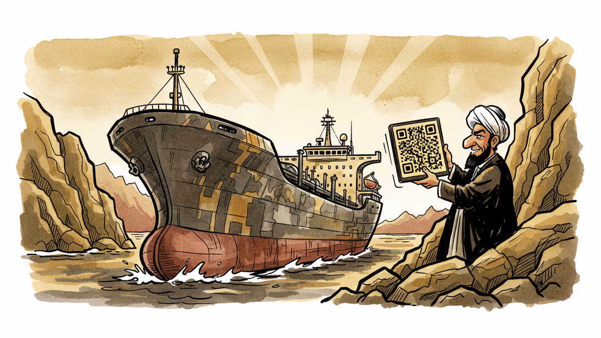
For Iran, the episode reflects a consistent asymmetric strategy. Unable to match U.S. conventional military capability, Tehran has invested in cost-effective force multipliers: drone swarms, precision missiles, and—as this case illustrates—commercial intelligence acquisition. Purchasing or obtaining targeting-grade imagery through intermediaries is cheaper and less attributable than running a traditional intelligence operation.
For U.S. allies and partners in the region, the implications are immediate. If commercial satellite data can be weaponized against American positions, the same vulnerability applies to coalition forces, partner-nation bases, and the infrastructure of countries hosting U.S. assets.
The Accountability Gap
The harder question this episode raises is not whether to regulate commercial satellite imagery more tightly—some form of additional control is almost certainly coming. The harder question is who bears responsibility when data produced for civilian purposes enables military harm.
The companies will argue they sold a product, not an attack. The intermediaries, if ever identified, will argue they redistributed information. The regulators will argue the legal framework was clear. And somewhere in that chain of deflection, U.S. service members were in the crosshairs.
For investors tracking the commercial space sector, this creates a material risk vector that has not been fully priced in. Regulatory tightening could compress addressable markets for earth observation companies. For defense and intelligence contractors, it opens a different opportunity: the market for end-use verification technology, data provenance tools, and AI-driven anomaly detection in imagery distribution chains.
This content is AI-generated based on source articles. While we strive for accuracy, errors may occur. We recommend verifying with the original source.
Related Articles

Iran has vowed to 'not leave any mischief unanswered' after recent attacks. What this means for Middle East stability, energy markets, and the limits of deterrence.

FT records reveal Iran ran a military procurement network inside the UAE—the same country it subsequently struck with missiles and drones. What this exposes about sanctions architecture.
Mike Waltz exits as Trump weighs resuming strikes on Iran. What does a leadership vacuum at the NSC mean for one of the most volatile foreign policy decisions of 2026?
Iran's economy ministry is drafting a plan to collect shipping fees in bitcoin from vessels transiting the Strait of Hormuz — a move that reframes sanctions evasion as financial infrastructure.
Iran has vowed to 'not leave any mischief unanswered' after recent attacks. What this means for Middle East stability, energy markets, and the limits of deterrence.
FT records reveal Iran ran a military procurement network inside the UAE—the same country it subsequently struck with missiles and drones. What this exposes about sanctions architecture.
Mike Waltz exits as Trump weighs resuming strikes on Iran. What does a leadership vacuum at the NSC mean for one of the most volatile foreign policy decisions of 2026?
Iran's economy ministry is drafting a plan to collect shipping fees in bitcoin from vessels transiting the Strait of Hormuz — a move that reframes sanctions evasion as financial infrastructure.
Thoughts
Share your thoughts on this article
Sign in to join the conversation