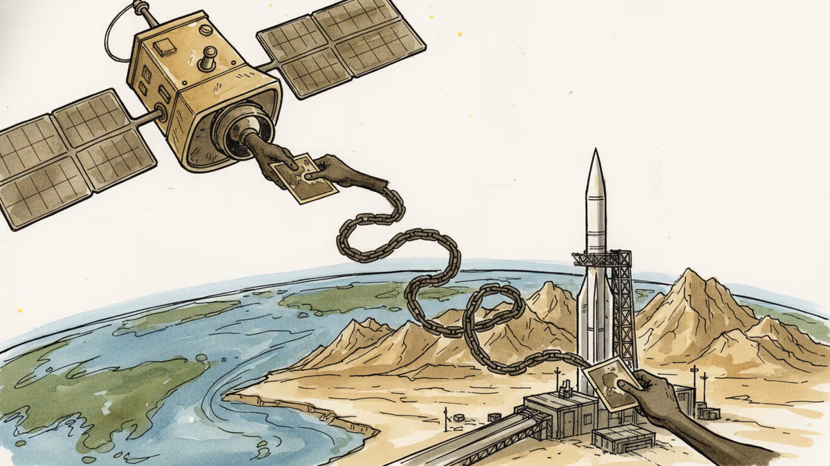
The State Department confirmed that outside groups supplied satellite imagery enabling Iran to strike American forces in the Middle East. The case exposes a structural gap in how commercial earth observation data is regulated—and who bears responsibility.