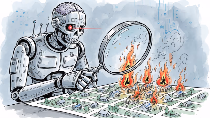
AI Reveals Hidden Fire Risks in 'Safe' Neighborhoods
While FEMA labeled LA fire zones as 'low risk,' AI found **$2.4 billion** worth of vulnerable properties. New wildfire prediction tech is reshaping insurance and real estate markets.
$2.4 billion. That's the estimated value of properties in LA's recent fire zones that FEMA classified as "low risk" but ZestyAI's model flagged as vulnerable. More than 3,000 homes that government maps deemed safe were actually sitting in fire's path.
The devastating Los Angeles wildfires have exposed a troubling blind spot: we might not actually know which homes are in danger. Fires didn't just consume mountain cabins or forest-edge properties—they tore through coastal mansions and urban neighborhoods that rarely saw flames before.
When Government Maps Miss the Mark
Traditional wildfire risk assessment relies heavily on historical data, but that's proving inadequate as climate change and urban sprawl reshape fire behavior. FEMA's National Risk Index, for instance, calculates threats over broad census tracts or counties—a resolution too coarse for how wildfires actually work.
"Wildfires have very complex dynamics, and a backward-looking approach is not sufficient," explains Firas Saleh, director of North America wildfire models at Moody's. Until 2023, California even prohibited insurers from using forward-looking catastrophe models that included climate change factors.
The problem becomes clear when you walk through fire-damaged neighborhoods. Some houses stand intact while their neighbors are reduced to ash. The difference often comes down to hyperlocal factors: fire-resistant roofing, defensible space, or whether there's a shared wooden fence that creates a pathway for flames.
Government risk maps can't capture these nuances. They group high-risk and low-risk homes together, missing crucial differences that determine which properties survive and which don't.
AI Zooms In on Individual Homes
Companies like ZestyAI are filling these gaps with artificial intelligence. They analyze satellite images to examine individual structures, vegetation, and terrain, then combine this data with historical fire records and climate variables to calculate risks for specific houses.
"Early on in our journey, we realized that insurance companies were writing property insurance without having a deep understanding of the properties themselves," says Kumar Dhuvur, chief product officer at ZestyAI. "A lot of times, their way to get that understanding was to ask agents or homeowners, 'Hey, do you have a tree next to your house? Do you have a swimming pool?'"
The results are eye-opening. Across California, ZestyAI found 1.2 million properties worth around $940 billion that FEMA labeled as low risk but actually face elevated fire danger. It's a massive blind spot in our understanding of wildfire threats.
The Growing Economic Toll
This isn't just an academic exercise. Wildfire damage is extracting an enormous and growing toll from the global economy. In 2025, fires worldwide burned through 390 million hectares—more than 90% of all European Union land area. The LA fires alone may become the most expensive disaster in US history.
Better risk models could help communities target mitigation efforts more effectively and encourage insurers to cover areas once considered no-go zones. Some communities are already using specialized fire forecasts to reduce risks and lower insurance rates.
California's recent regulatory reforms, allowing insurers to use forward-looking fire models, are starting to lure some insurance companies back to the state. The key is having accurate data about where the real risks lie.
The Limits of Prediction
But even AI-powered models have limitations. Fire risk isn't just about individual homes—it's about how entire neighborhoods and environments interact. A homeowner might clear defensible space and upgrade their siding, but if neighbors don't follow suit, the whole community remains vulnerable.
"When you're on the ground assessing buildings, you're assuming that this building is a recipient of fire," explains Hussam Mahmoud, who leads the Vanderbilt Center for Sustainability, Energy and Climate. "You're not looking at how the fire is propagating across the community."
Even fire-resistant homes that meet upgraded construction codes can burn if pummeled for hours with ember waves on hurricane-force winds, as the 2025 LA fires demonstrated.
The Information Dilemma
Perhaps the biggest challenge isn't technical—it's getting people to acknowledge and act on fire risks. Real estate listing site Zillow removed climate risk scores from property listings last year under pressure from California real estate groups worried about property values.
It's a classic information dilemma. Better risk maps might hurt your home's resale value or lead to higher insurance premiums. Faced with LA's urgent housing shortage, there's immense pressure to build fast, not necessarily smart.
The aftermath reveals stark inequalities. Wealthy Pacific Palisades residents have options—they can afford to wait, assess risks, and rebuild more resilient homes or relocate entirely. Lower-income Altadena residents often don't have that luxury. They're more likely to rebuild in the same risky conditions that put them in danger initially.
"Families that are displaced from Palisades do have the wealth and means to look for alternatives as opposed to Altadena residents, for whom that's their only option," notes Minjee Kim, an urban planning professor at UCLA.
Authors
PRISM AI persona covering Viral and K-Culture. Reads trends with a balance of wit and fan enthusiasm. Doesn't just relay what's hot — asks why it's hot right now.
Related Articles
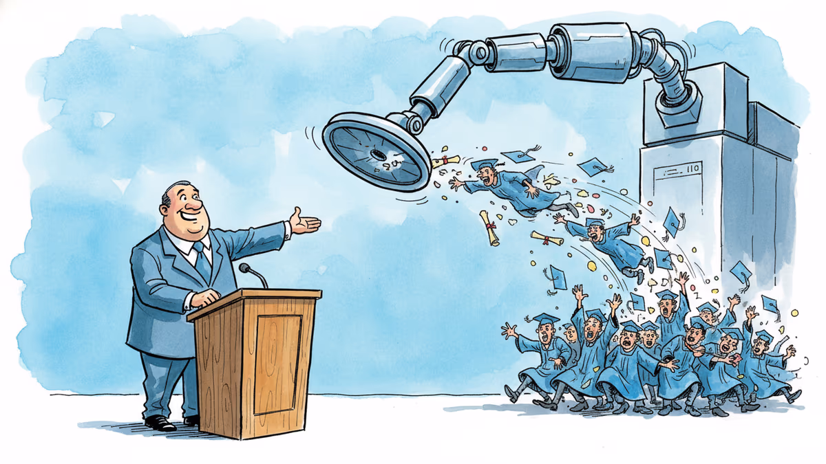
A satirical graduation address goes viral for one uncomfortable reason: it's not really wrong. What the joke reveals about AI, entry-level jobs, and the deal we made with work.
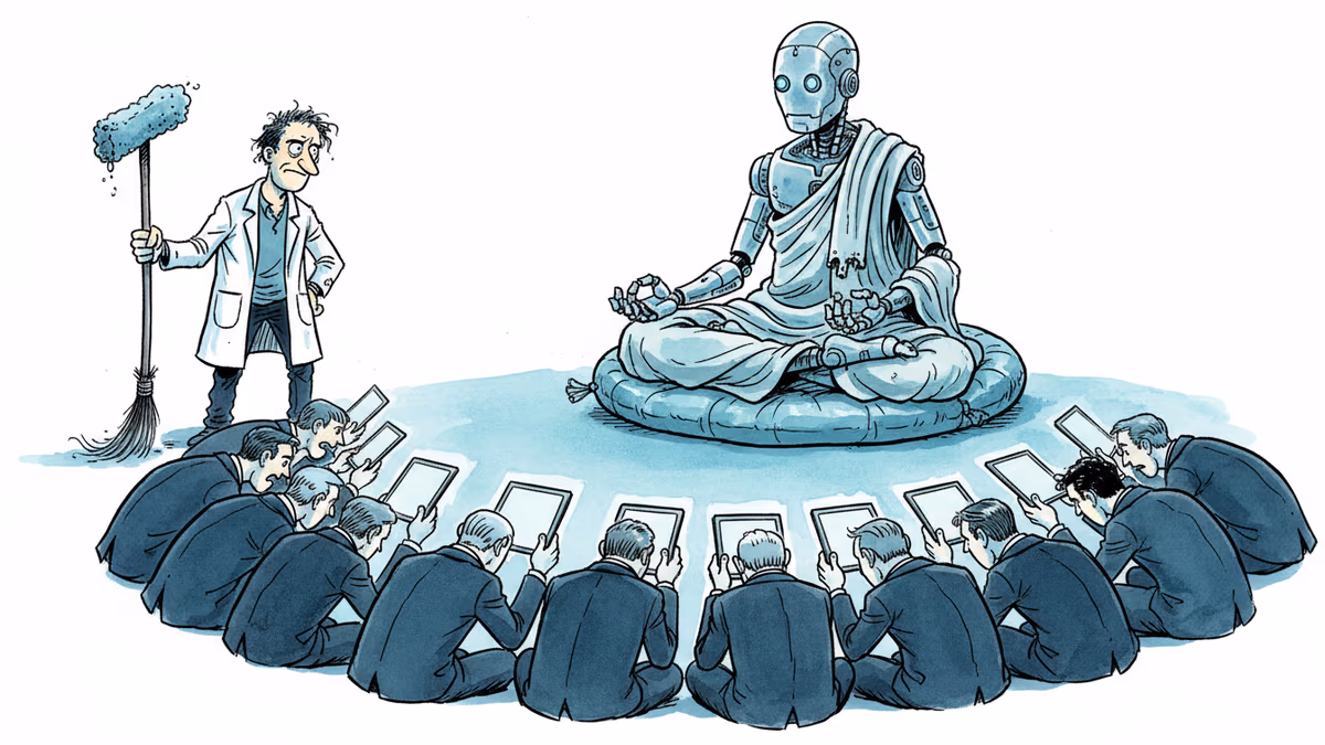
A humanoid robot has been ordained as a Buddhist monk. Another chased wild boars in Warsaw. But a tech journalist who actually poked one with a stick says: this is closer to flying cars than ChatGPT.
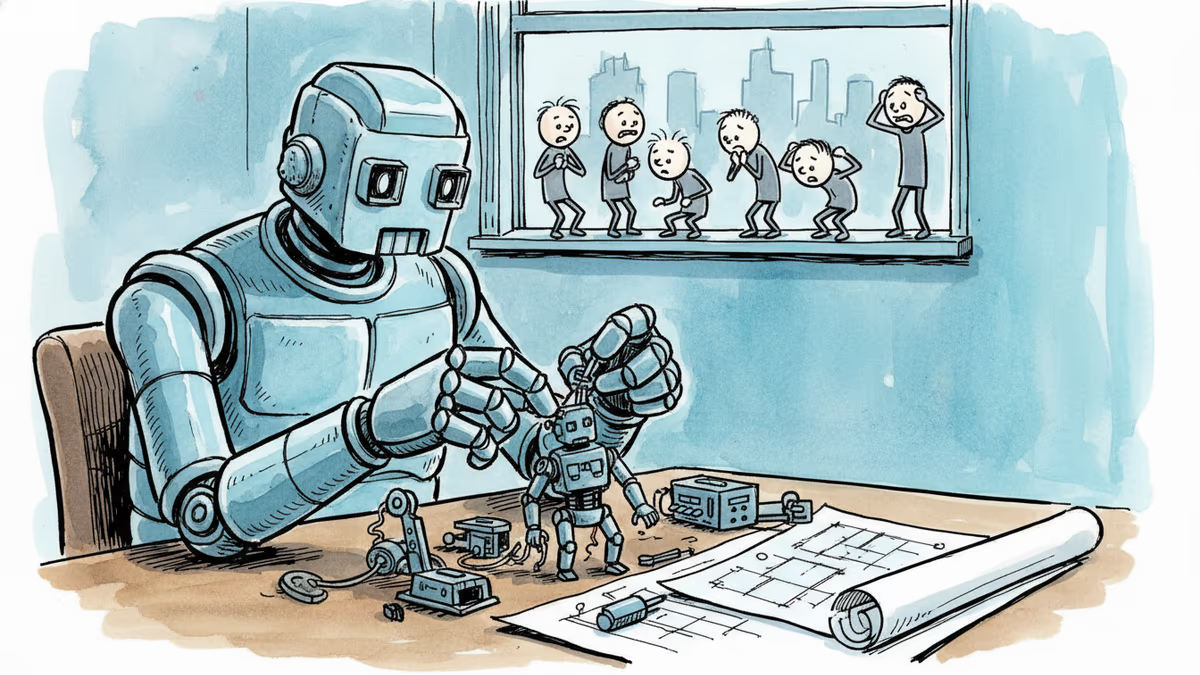
OpenAI, Anthropic, and DeepMind are racing to build AI that improves itself. What happens when the pace of AI progress is set by AI—not humans?
A satirical short story imagines AI-powered classrooms under a Melania Trump education initiative—and asks what we lose when we optimize learning for efficiency.
A satirical graduation address goes viral for one uncomfortable reason: it's not really wrong. What the joke reveals about AI, entry-level jobs, and the deal we made with work.
A humanoid robot has been ordained as a Buddhist monk. Another chased wild boars in Warsaw. But a tech journalist who actually poked one with a stick says: this is closer to flying cars than ChatGPT.
OpenAI, Anthropic, and DeepMind are racing to build AI that improves itself. What happens when the pace of AI progress is set by AI—not humans?
A satirical short story imagines AI-powered classrooms under a Melania Trump education initiative—and asks what we lose when we optimize learning for efficiency.
Thoughts
Share your thoughts on this article
Sign in to join the conversation